HPR Shades of Green Map

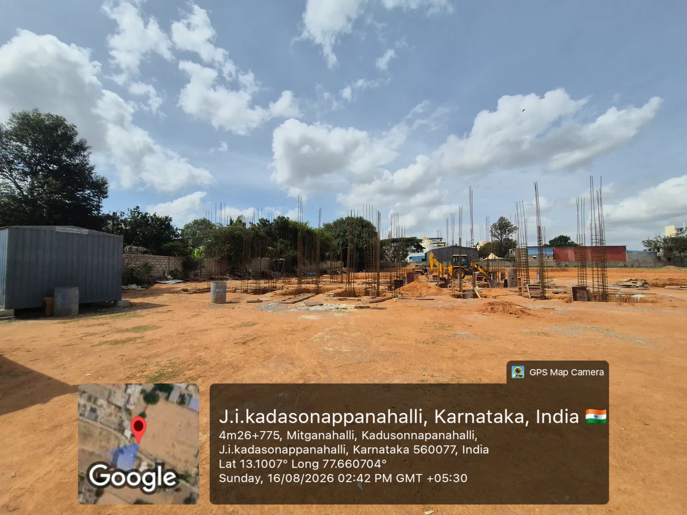
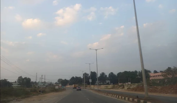
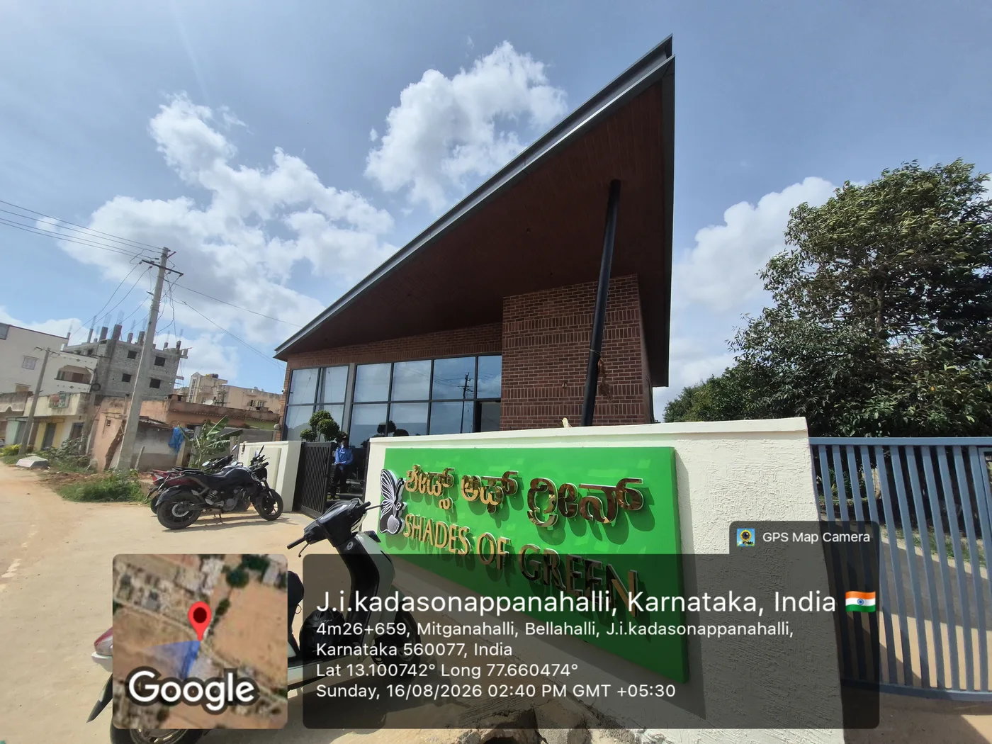
The HPR Shades of Green map shows the villa project sitting on Kannuru-Bagaluru Road in North Bangalore. This location places the project right beside Hennur-Bagalur Airport Road, one of the busiest growth corridors in the city. It also shows the coordinates of the site, which can be tracked on Google for easy accessibility. These are:
- Latitude: 13.09°N
- Longitude: 77.65°E
Buyers checking the map will notice quick links to Thanisandra, Manyata Tech Park, and the Outer Ring Road. The map also highlights the upcoming Satellite Town Ring Road, which is already 95% complete as of April 2026.
This single stretch of road will reshape travel across North Bangalore once finished. For homebuyers, the map is the fastest way to judge daily commute times and future value.