HPR Shades of Green Directions

Featured Image of Hpr Shades Of Green Directions


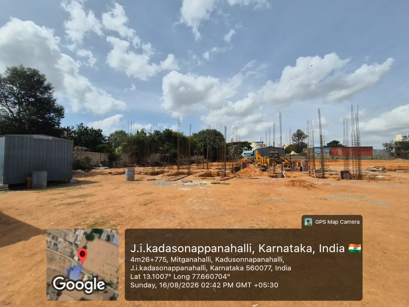
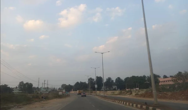
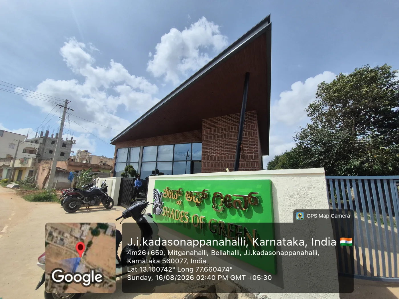
HPR Shades of Green's direction is in the Northern part of Bangalore and is located in Kannurur near Hennur-Bagalur Road. It is also in the direction of Kempegowda Airport, which is 100 meters away. The project's map, giving exact coordinates, helps buyers to track it properly. These are given below:

  • Latitude reads 13.100137, marking the project's north-south position.
  • Longitude reads 77.661672, marking its east-west position on the map.
Which Direction Does HPR Shades of Green Face?


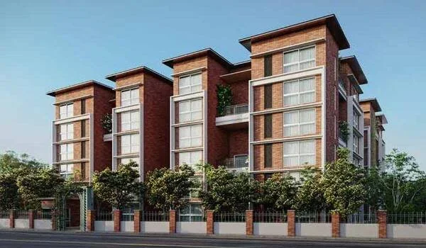
The project's schedules show its boundary layout clearly. A main road runs along the south side of the site. This suggests the primary entry faces south, toward this road. The north, east, and west sides border other survey numbers. This layout gives the project good road frontage and access.

  • North Schedule: The north boundary of the project is Sy No 56.
  • South Schedule: The south boundary is a main road, offering direct access.
  • East Schedule: The east boundary includes Sy No 57, 58, and 59/8.
  • West Schedule: The west boundary is Sy No 52, a neighbouring plot.

The site's direction also covers its address, coordinates, and full boundary schedule, which are mentioned below:

HPR Shades of Green Address


Project Address: Sy No 59/1, 59/2 & 59/3, Kadusoppanahalli Village. It belongs to Bidarahalli Hobli, in Bengaluru East, Bengaluru Urban district. The postal PIN code is 562149. The location of the project is near major roads and residential areas.

How the Direction Connects to Nearby Roads


The boundary along the south main road connects directly to the New Airport Road. The road is just 100 meters away from the project site. It is also connected to Hennur-Bagalur International Airport Road. Such a location ensures good connectivity of the project with North Bangalore.

Note: Directions below are general estimates based on Bangalore's road geography. Only the four boundary schedules above come from official project records.

Commuting Options and Their Direction from the Project


  • The Kannuru Bus Stop is located at a distance of 1.2 km from this area, accessible through New Airport Road.
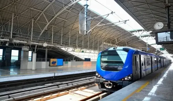
  • The K.R. Pura Metro Station is located at a distance of 12 km in the south-east direction, situated in the Purple Line.
  • The Krantivira Sangolli Rayanna Railway Station is situated at a distance of 23 km in the south direction, and can be accessed through the Bellary Road.
  • The Kempegowda Airport is situated approximately 15 km away from here in the north direction, through New Airport Road.
  • It is the second busiest airport of South India in terms of passenger traffic.

IT Hubs and Their Direction from the Project


The Bharathiya City Tech Park is located at a distance of about 4.5 km southwest of the location. This park houses a number of IT and business process firms. The Manyata Tech Park is located some 9.4 km to the south of the location.

This is one of Bangalore's largest office campuses, housing global tech firms. IFCI Financial City sits 7.9 km south-west, suited to finance sector employees. Ecopolis lies close by too, about 9.5 km toward the south.

KIADB Aerospace Park sits 14.2 km north, near Devanahalli, supporting aerospace manufacturing jobs. Prestige Tech Cloud lies 16.2 km north, along the airport road corridor.

Schools and Their Direction from the Project


  • YuvaLok Kannur School and Dignity Public School sit within 1.2 to 1.3 km. Both lie south of the project, along the Hennur-Bagalur Road stretch.
  • Aadya Academy and Sparkling Mindz Global School are close by too, at 2.2 km.
  • Chaman Bhartiya School sits 4.2 km south, offering a larger campus setup.
  • Oasis International School lies 3.4 km away, also toward the south.

Hospitals and Their Direction from the Project


  • Sparsh Hospital sits nearest, about 7.2 km south of the project site.
  • Cytecare Hospitals and Surakshaa Hospital lie within 9 km, also to the south.
  • Manipal Hospital and Aster CMI Hospital sit further out, near Hebbal to the south.

These hospitals cover both routine care and advanced specialist treatment.

Malls and Shopping Centres by Direction


  • The Galleria Mall and the Garuda Mall are located about 9 km south from here, near Yelahanka.
  • The Elements Mall is located nearby, on the Thanisandra Main Road southwards.
  • The Phoenix Mall of Asia is located 12.5 km south, near Hebbal.
  • Esteem Mall lies 13.2 km south, offering another compact shopping option nearby.

Places to Visit by Direction from the Project


The Devanahalli Fort, which dates from the beginning of the 15th century, is located 24.2 km to the north and is the birthplace of Tipu Sultan. The Jakkur Aerodrome is situated 10.2 km to the south.

Cubbon Park sits 15.9 km south, spreading across 300 acres of green space. Nadaprabhu Statue lies 15.1 km south, standing 108 feet tall in bronze.

Nearby Landmarks Around the Site Direction


Nagaragiri Township lies close to the project's mapped location. Kadusonnapanahalli sits near the eastern boundary of the site. These landmarks help buyers orient themselves using the map view.

FAQs


1. What is the north schedule of HPR Shades of Green?

The north schedule runs along Sy No 56, bordering the project directly.

2. What are the map coordinates of HPR Shades of Green?

The coordinates are Latitude 13.100137 and Longitude 77.661672.

3. Which road forms the south schedule of HPR Shades of Green?

A main road forms the southern boundary, connecting to New Airport Road.

4. What is the PIN code of HPR Shades of Green?

The PIN code is 562149, under Bengaluru East taluk.

Enquiry
Enquire Now